News
EPA provides update on Neponset cleanup
Superfund project moving in phases
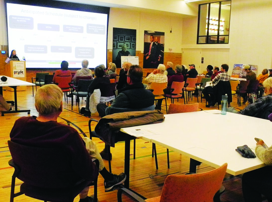
On April 21, the U.S. Environmental Protection Agency (EPA) held its most recent public information meeting regarding its ongoing Lower Neponset River Superfund project.
Its primary goal is to remove accumulated pollutants – especially PCBs (polychlorinated biphenyls) – from a 3.7-mile stretch of the Neponset River’s bed and banks in an effort to restore its ecosystem to a condition that people can use it safely, in terms of toxic exposure.
The Lower Neponset River Superfund was designated as such in 2022 and the site goes from the river’s confluence with Mother Brook in Hyde Park (at the Grimké Sisters Bridge) downstream to the Walter Baker Dam in Lower Mills (under Adams Street at the end of Eliot Street).
The project is complex and massive, and it is divided into two main phases:
Phase 1 focuses on the site’s first mile – from Mother Brook to the Tileston and Hollingsworth Dam (behind Planet Fitness, 892 River St.). Its plan of action (aka the Action Memorandum) was finalized last November, and it entails the dredging and removal of sediment and flood plain to bring the PCB target level down to 1 mg/kg. The river channel will also be capped as necessary, and the T&H Dam will be removed. The estimated cost of this phase is $78.6 million.
Phase 2 deals with the entire 3.7-mile site. Currently, its focus is on the section of the Neponset from the T&H Dam to the Baker Dam. It is now in its “characterization” stage, during which the EPA will complete an investigation and feasibility study, after which a plan will be proposed.
Beyond that, PCB removal work has already either taken place – or is taking place – at two specific areas within the Superfund site slated for immediate action:
The Lewis Chemical site (between the Neponset and Fairmount Station) had nearly 6,000 tons of contaminated soil removed from it, after which its excavated area was capped with geotextile fabric and backfilled with clean soil. This work was completed in October 2024.
The Riverside Square site is an eight-acre, primarily residential area between Pierce Street, Riverside Square and the Neponset, bordered at one end by West Street and at the other by the dead-end of the Riverside Square block. The river was dredged in the sixties and PCB-contaminated sediment and soil were deposited along the abutting riverbank, necessitating the present action. Field work got underway in October 2024 and is estimated to take about two years to complete.
During the meeting, the EPA team presented findings regarding the Phase 2 section, including the fact that the 2.7 miles of river from the T&H Dam to the Baker Dam are considerably less polluted than the first upstream mile of it. This was the result, according to Remedial Project Manager “Tristan” Pluta, of the T&H Dam holding much contaminated sediment back.
However, one section of it – the Braided Channel, which begins at the Harvest River Bridge (past Mattapan Station on the Neponset River Greenway) – is polluted to the level that action will be required. “It’s unfortunate because I feel like, aesthetically, this is probably everybody’s favorite part of the river,” Pluta said of that determination.
He also gave an explanation of why the Braided Channel is so contaminated while the stretches of river upstream and downstream of it are far less so. He noted that the impounded sediment at the T&H Dam has decreased in thickness by 4-5 feet over the last decade or so and put forward that, when displaced, it has been flowing downstream and ultimately settling in that section – which got its name because of its small, grassy islands that the river weaves through and around.

The EPA will continue to collect and evaluate data pertaining to the Phase 2 section of the site.
The removal action for the Phase 1 section of the site is anticipated to begin sometime in 2027.
The removal of the T&H Dam is anticipated to take place in 2030.
During the Q&A, one question concerned the 1 mg/kg target ratio, which – at prior EPA public meetings – had been given as 0.8 mg/kg. However, Pluta stated that 1 mg/kg also falls within the EPA’s range of acceptable risk levels and Community Involvement Coordinator Aaron Shaheen – the meeting’s lead presenter – later commented via email that, essentially, the number was rounded up during the Phase 1 Engineering Evaluation/Cost Analysis (EE/CA) and that the ratio is in accordance with the EPA’s Superfund Risk Assessment Guidance.
There were also funding questions, with reassurances made that the federal project would go on. Regarding the tightening budget for Riverside Square, On-Scene Coordinator Tom Hatzopoulos stated that no funds have been cut, “they’re just coming in slower, but they are coming in.”
He was also asked about public use of the Lewis Chemical site post-PCB removal. “Currently, it’s not a brownfield site,” he said. “It’s been dug down to at least five feet, and 10 feet in certain areas. As far as we’re concerned, there’s five feet of clean soil on top of the entire site.” He added that “what we’ve left behind is very little – very little contamination, and that’s at depth.”
Hatzopoulos was also asked if he would allow his grandchild to play there on a regular basis. “Absolutely,” he replied, before clarifying that he doesn’t yet have any grandchildren.
To find out more about the Lower Neponset Superfund, as well as its Community Advisory Group (CAG), visit www.epa.gov/neponsetriver. To join the EPA’s Lower Neponset email list or to find out more about attending a monthly CAG meeting, contact R1Neponset@epa.gov.
For further information, Aaron Shaheen can be reached at Shaheen.Aaron@epa.gov.
Comments