News
Community-generated S+S zoning map approved in HP
City’s turn to reply
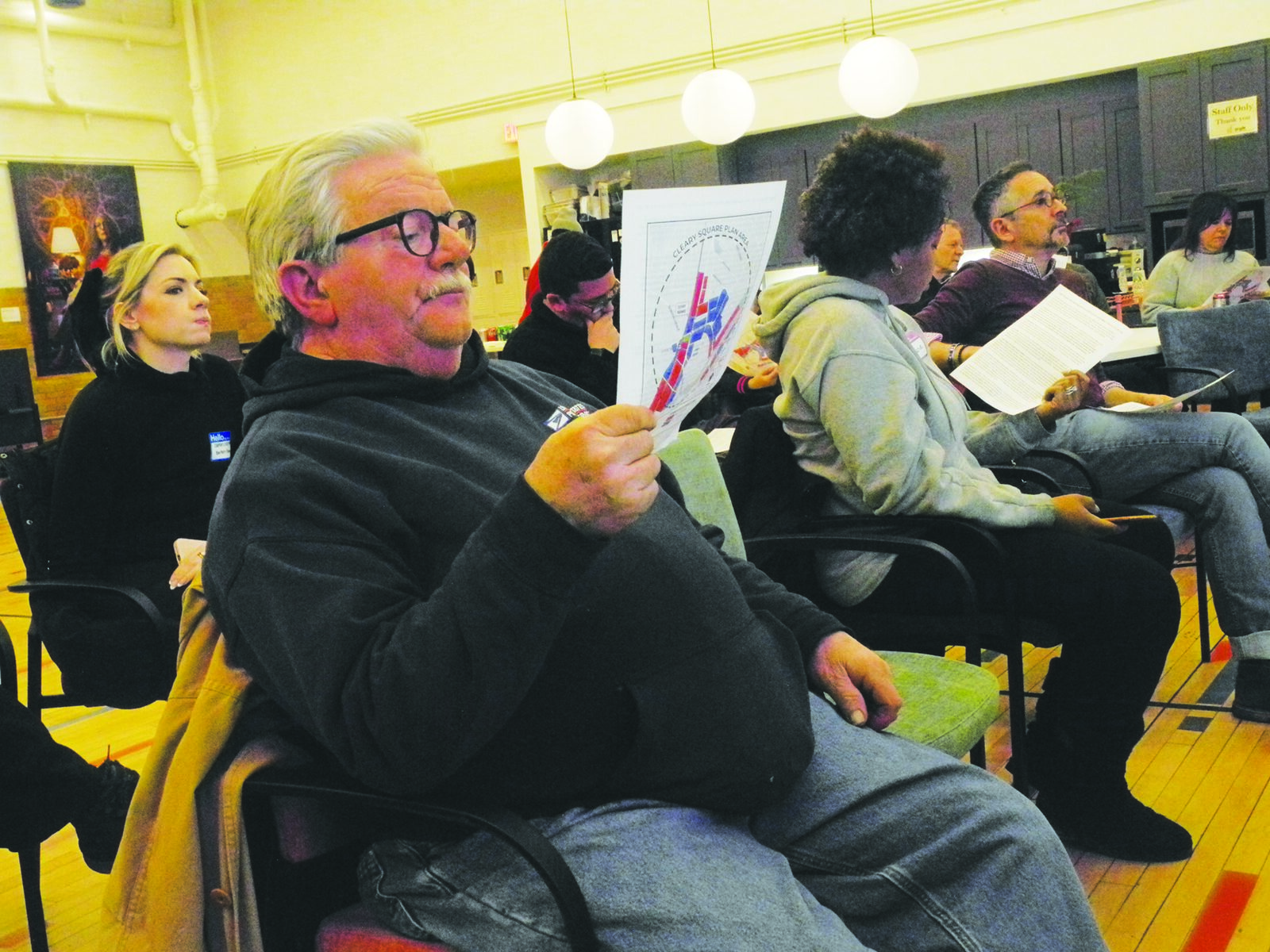
Last Thursday, a community meeting – coordinated by the Hyde Park Neighborhood Association (HPNA) – was held to present, discuss, and vote on a proposed Squares + Streets (S+S) zoning map for Hyde Park’s downtown business district: Cleary Square.
This community-generated map – approved by the approximately 40 Hyde Park residents in attendance – will now be submitted to City’sPlanning Department in anticipation of the imminent release of its own S+S zoning proposals for the area.
The map will serve as a reference point during what will likely be a 45-day public review period after the release of the Planning Department’sproposed zoning changes. It also encapsulates the neighborhood’s effort to maintain some control in a process that has been playing out since early December 2023 – when City Hall proposed six new zoning districts as part of its S+S initiative.
Where applied in selected neighborhood business areas (17 are listed across the city), S+S districts would supersede existing zoning and would allow for residential development of increased height and density (the S+S zoning districts go from four stories at their low end, to five storis, to seven stories, and then to 145 feet or approximately 12 stories at the upper end) – likely at the expense of future business/commercial/active use.
The release of the proposed S+S zoning districts was met with much concern, suspicion, and pushback, at least in Hyde Park. This continued after the Hyde Park community planning process kicked off in February 2024, and after the S+S zones were adopted into the citywide code that April. Stoking this was the lack of both meaningful community input and Planning Department transparency in determining which new S+S zones would be applied and where they would be mapped.
This led to an ad hoc neighborhood group forming in the summer of 2024. It drafted a petition to be submitted to the Boston Zoning Commission (BZC) in which additional S+S districts were proposed that attempted to better address its Cleary Square concerns regarding the protection of business/retail space, business/residential displacement, parking, and green space/tree canopy.
Over about the next year, this petition went back and forth between the ad hoc group and City Hall. It was never submitted to the BZC, but the Planning Department did put through two of its own S+S amendments that were based on elements of it.
Most recently, in December the BZC approved the addition of two new S+S zoning districts to be added to the six original ones that it had adopted in April 2024. These – labeled SC and S3-6 – were based on those proposed by the ad hoc group as buffers between the original six districts (labeled S0-S5). They also contain language more protective of business/active use.
As the petition was going back and forth, the ad hoc group was organizing community meetings and mapping workshops designed to inform residents of the City’s impending S+S zoning changes, and to get their feedback on what would be acceptable to them.
The result of these efforts was last Thursday’s meeting and vote.
Predictably, the preferred S+S zoning changes were centered around the Hyde Park Avenue/River Street/Lower Fairmount Avenue nexus that forms the framework of the neighborhood’s business district. Almost as predictably, all of the preferred zoning changes shown on the map were of the four-story SC district and the six story S3-6 district variety.

Particularly notable about the meeting was the number of new faces in the crowd and their engagement in the proceedings as they familiarized themselves with what was going on; the slide presentation given by members of the ad hoc group was regularly paused as questions were asked and answers were provided, attempted, redirected, or deflected by either the presenters, ad hoc group members in attendance, or – in several instances – two Planning Department representatives closely involved with the S+S rezoning of Cleary Square.
Many of the questions and comments brought to the surface the underlying confusion and concern that have been major components of the process. And at least once, that ever-simmering suspicion regarding City Hall and the Planning Department bubbled up and popped.
There was also a moment of stark recognition when Cleary Square resident Melissa LaBianca wrapped her head around the fact that the four-story SC district does not require active use on the ground floor but lines River Street – the heart of Hyde Park’s business district – on the proposed map.
“There’s an option for retail on the first floor, but it’s maybe not going to happen, so it COULD be like that B’nai B’rith building on the corner?” she said, referring to a new four-story construction at 1201 River St. that resulted in the net loss of half a block of storefronts. “That could be our whole River Street. That would decimate this area. It would devastate this area.”
There were also other questions about the zoning districts proposed on the map. That noted, they were not incorporated into what was approved, with the explanation that the map was essentially a starting point for discussion with the Planning Department, and that further details would be worked out during the public review process regarding City Hall’s proposed zoning changes.
“We’re trying to look for density in the proper places,” ad hoc group member Ken Fields explained, setting the stage. “We’re trying to preserve commercial areas in the right places, and we’re all going to have the chance to influence this in the next coming months.”
The Planning Department’s release of its S+S zoning map and draft plan for Cleary Square is anticipated in late February/mid-March, after which there will be a public comment/community engagement period.For S+S information and upcoming dates, visit www.bostonplans.org and click on the Squares + Streets quick link. Then scroll down and click on the Cleary Square link.
For community information on S+S in Cleary Square, email hydeparkneighbors@gmail.com.
Comments